Table of Contents
View and Inspect
View and Inspect
Immerse Yourself in Your Data
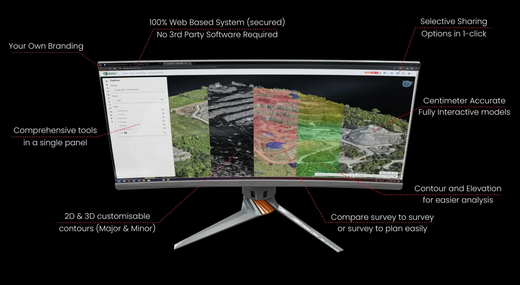
Explore your survey or inspection data in a truly immersive 3D environment that goes beyond simple photographs or static maps. By moving effortlessly through the scene, you can examine structures, landscapes, and assets from any angle, revealing crucial details that may be missed through conventional methods. With this dynamic perspective, you can gain a richer understanding of your project, leading to more informed decisions and better outcomes.
Secure Cloud Hosting
Secure Cloud Hosting
Your Data, Protected and Accessible
Our platform is built on a secure cloud hosted infrastructure designed to keep your information safe. We employ rigorous encryption standards, strict user authentication, and continuous monitoring to ensure that only authorised individuals can access your data. This robust approach to security means you can trust that valuable survey results, inspection imagery, and analytical outputs remain protected at every stage.
Browser Delivery
Browser Delivery
Instant Access Without Installation
Forget about installing complex software or struggling with outdated hardware requirements. Our browser based solution allows you to access all data, models, and insights directly through a standard web browser on your preferred device. This seamless approach reduces downtime, simplifies deployment, and empowers you to analyse your project whenever and wherever it is most convenient.
User Level Access Control
User and Organisation Level Access Control
Customised Permissions for Complete Oversight
Take full control over who can view, interact with, or extract your project information. Our granular permissions model enables you to assign access rights at both user and organisation level, ensuring each member of your team sees only what is relevant to their role. This layered control helps maintain the integrity of your data and supports clear, accountable information sharing.
High Quality 3D Models
High Quality 3D Models
Experience Unparalleled Visual Clarity
We transform raw survey inputs into high quality, photo realistic 3D models that bring your project to life. Every structural element, surface detail, and piece of equipment is rendered with impressive accuracy. By providing a true representation of the site, these models allow you to pinpoint issues, confirm dimensions, and support planning decisions with greater confidence.

Digital Terrain
Digital Terrain
A True-to-Life Representation of the Ground
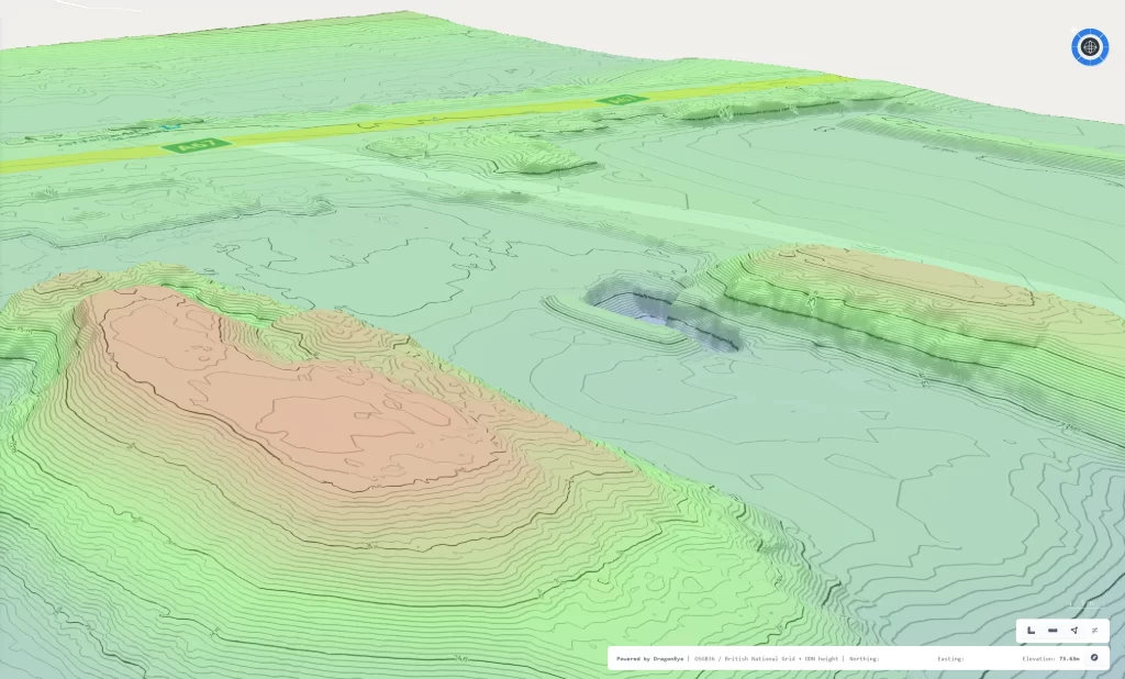
Our digital terrain models help you understand the natural contours and physical character of the site. Visualising the underlying surface as it truly exists enables you to plan excavation, drainage, or construction activities more effectively. This in depth perspective on the landscape supports a more proactive and responsive approach to project management.
Contour Lines
Contour Lines
Clarifying Elevation Changes and Gradients
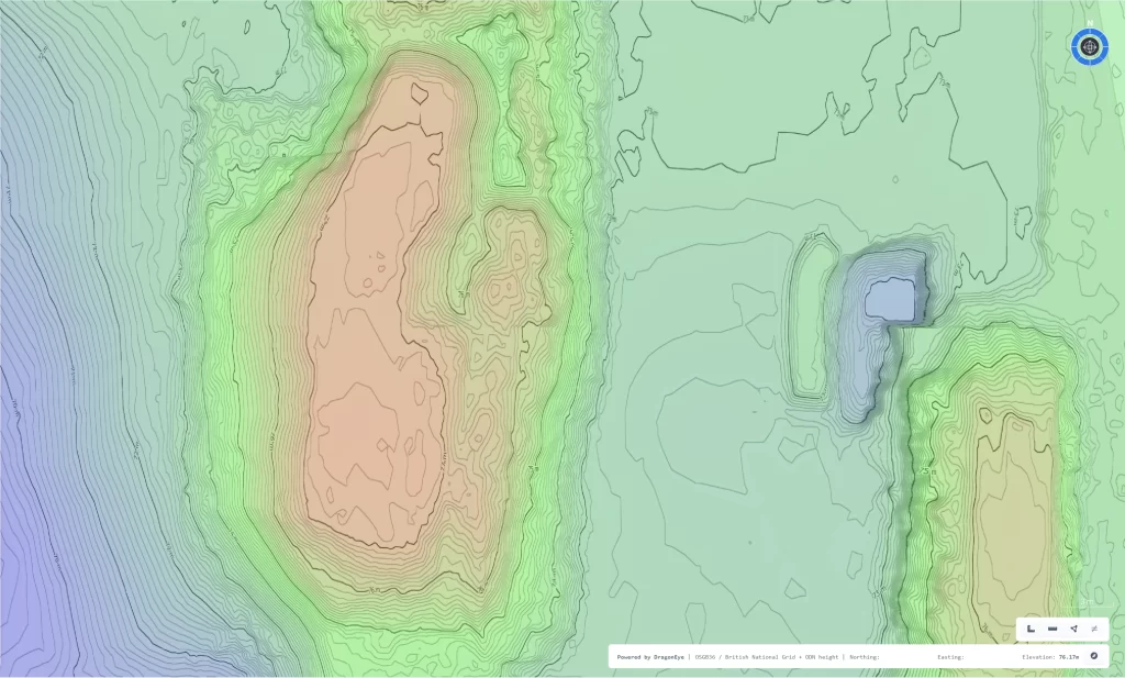
Automatically generated contour lines highlight shifts in elevation across your survey area. These lines offer valuable insights into slope stability, drainage patterns, and terrain suitability. Equipped with this information, engineers, planners, and environmental specialists can make more informed decisions, from designing safer road alignments to optimising drainage solutions.
Elevation Map
Elevation Map
Instant Understanding of Vertical Variation
Our elevation maps use colour coded gradients to convey differences in height at a glance. By visually translating complex elevation data into an intuitive format, you can quickly identify potential flooding zones, assess structural heights, or plan excavation depths. This immediate clarity supports faster responses to on site challenges and drives more efficient resource allocation.
Points of Interest
Points of Interest
Mark, Annotate, and Share Key Features
Draw attention to crucial details by marking points of interest directly within your digital environment. Add notes, attach files, or highlight areas of concern so that everyone involved in the project knows exactly where to focus their attention. This targeted approach improves communication, saves time, and fosters collaborative problem solving across your organisation.
Import and View CAD Plans
Import and View CAD Plans
Combining Reference Drawings With Real-World Data
Integrate existing CAD plans directly into your 3D models to create a single, comprehensive view of your project. Compare surveyed conditions against planned designs, check for alignment with engineering specifications, and refine strategies with greater accuracy. By uniting digital plans and real world information in one place, you can streamline decision making and minimise costly misunderstandings.
Shared Discussion
Shared Discussion
Fostering Teamwork and Collective Intelligence
Collaborate in real time by engaging in conversations within the platform. Whether you need to clarify a measurement, propose a design adjustment, or raise a safety concern, you can discuss matters directly with colleagues while viewing the relevant data. This interactive approach not only encourages teamwork but also ensures that every decision is informed by a diversity of perspectives and expertise.


