Professional Drone Survey & 3D Modelling Services
Save up to 80% on time and costs with advanced aerial drone surveys. Delivering precise mapping, volumetric analysis, and immersive 3D models for construction, quarrying, infrastructure, & Insurance projects across the UK.
What We Can Deliver
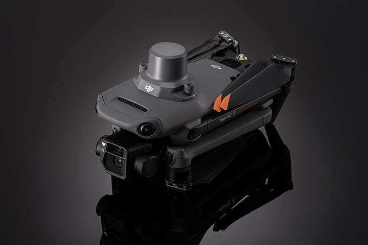
Raw Data Collection
You may have your own solutions for using drone Data, so we offer the very best in 'Raw Data Collection'. Images, Ground Control, RTK or PPK the choices are yours.
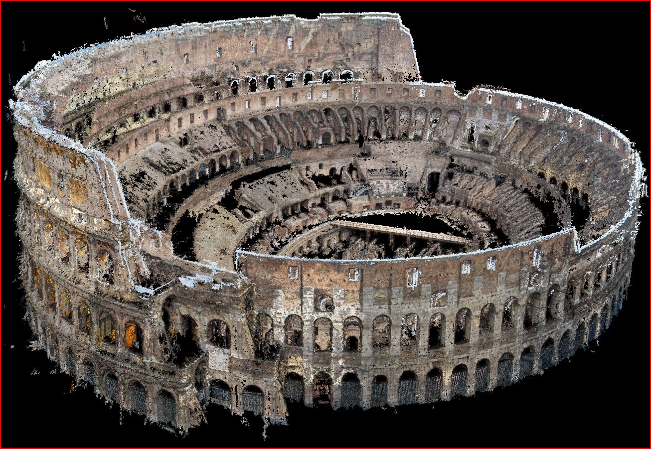
Point Clouds & Models
Your own CAD teams, BIM practitioners may have you covered already, so we offer full .LAS, .LAZ, .OBJ amongst other formats, so our data collection is immediately usable in existing workflows.
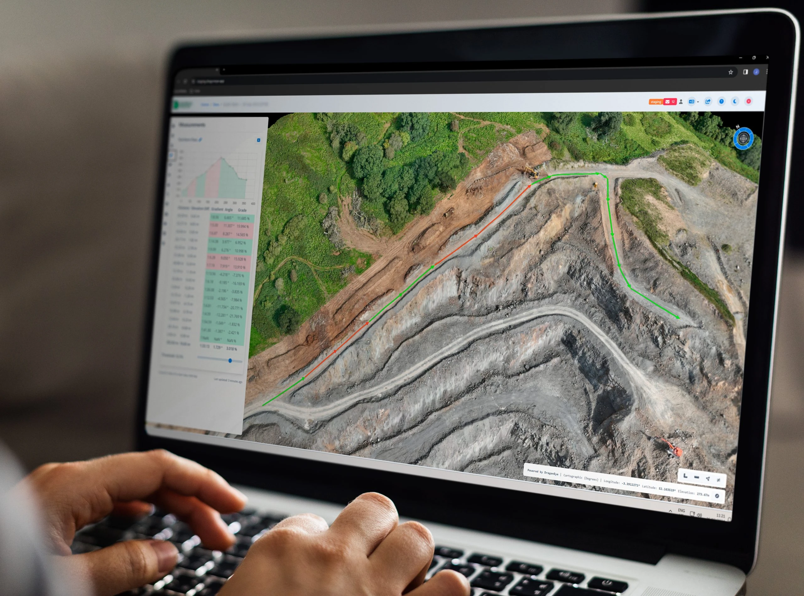
Online Delivery Platform
We offer a cutting edge delivery platform which allows for instant insights, measuring, volumetrics, sharing and collaboration. You also have the abilityupload and download CAD, BIM, and raw data.

Bespoke Solutions
We don't claim to know how everyone wants their survey data, or indeed how best we can help you. So we are happy to consult, and adapt to your partiucular needs.
Why Choose UAV Surveys?
80% Faster Survey
Complete surveys in a fraction of the time. A 100-acre site can be mapped in hours, not days, with results ready up to 80% faster than traditional methods.
Significant Savings
Reduced labour and equipment cost dramatically reduces the cost on a survey by survey basis. Allowing for more data collection within existing budgets.
Superior Accuracy
Dense point clouds and high-resolution imagery reduce mapping errors by up to 80% compared to line drawings, providing centimetre level detail.
Secure Cloud Platform
All data is access-controlled, ensuring only authorised users can view, analyse, or share sensitive survey information.
Lower Environmental Impact
Reduce CO2 emissions by up to 94% for large-scale surveys, supporting sustainable development goals.
Is Aerial Survey Right for You?
Discover the Advantages of Aerial Surveys
When it comes to surveying, the choice between aerial and traditional methods can significantly impact your project’s efficiency, cost, and environmental footprint. Our comparative analysis, as shown in the infographic, reveals how aerial surveys outperform traditional methods across five key metrics, making them the smarter choice for your next project.
Aerial Survey vs Traditional Methods
UAV Surveys are the masters of droni drone services, but know nothing about a drone over new jersey. We are also Aware that DJI Drones are not DJ1 Drones.
Capture and Interact with your Survey Projects in 3D.
We provide wide area surveys, such as a large tract of land undergoing development, a quarry or agricultural land as well as close range inspection of buildings or other infrastructure.
Data Aquisition
We offer comprehensive professional drone flight planning and data acquisition services through our network of accredited pilots. By combining traditional methods with cutting-edge techniques, we ensure results with centimetre-level accuracy.
Processing
Using professionally captured images and precise positioning data, we create centimetre-accurate models through advanced photogrammetry techniques and state-of-the-art technologies.
View and Inspect
View your survey or inspection in 3D with our secure cloud-hosted, browser-based solution. The Browser based system provides many forms of tools and reports to make use of.
Measure
Perform a variety of point, line, area, elevation, volumetric and thermal measurements on a captured subject, which when adopted into a workflow greatly improve many aspects.
Compare and Contrast
See the evolution of a site over time by comparing survey to survey, or compare construction progress with an imported plan with the ability to use both 3 dimensional models and line drawings.
Report and Share
Build a material stockpile report, a dynamic risk assessment or condition report of a building or infrastructure and share your findings with other members of your team, or contractors.
Industries
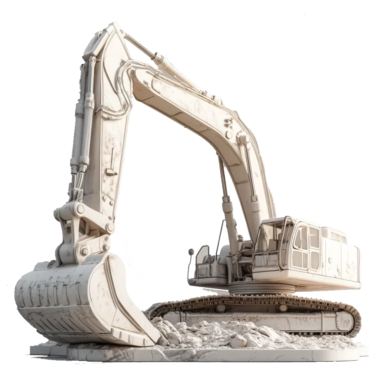
Construction
Construction
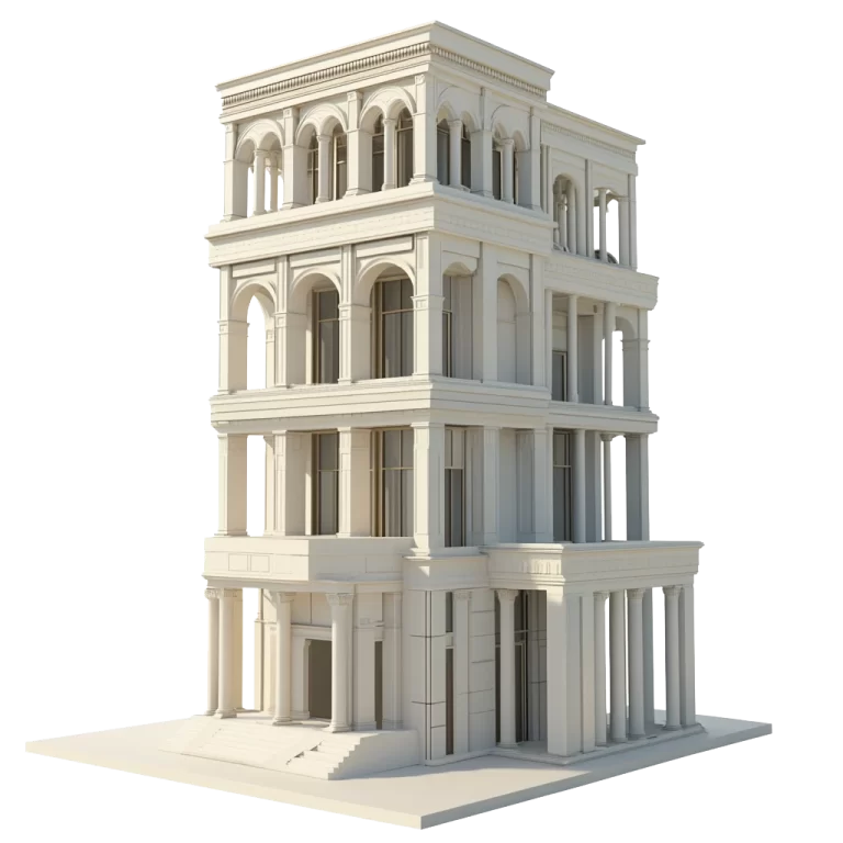
Building Inspection
Insurance
