The construction industry has always embraced innovation, from the early adoption of power tools to the widespread use of Building Information Modelling (BIM). One of the most significant advancements in recent years has been the increasing use of drone technology for surveying. This blog post explores the current state of drone surveys in construction, the technological advancements driving progress, and how they’re reshaping the sector.
Transforming the Construction Landscape
Enhanced Efficiency and Accuracy
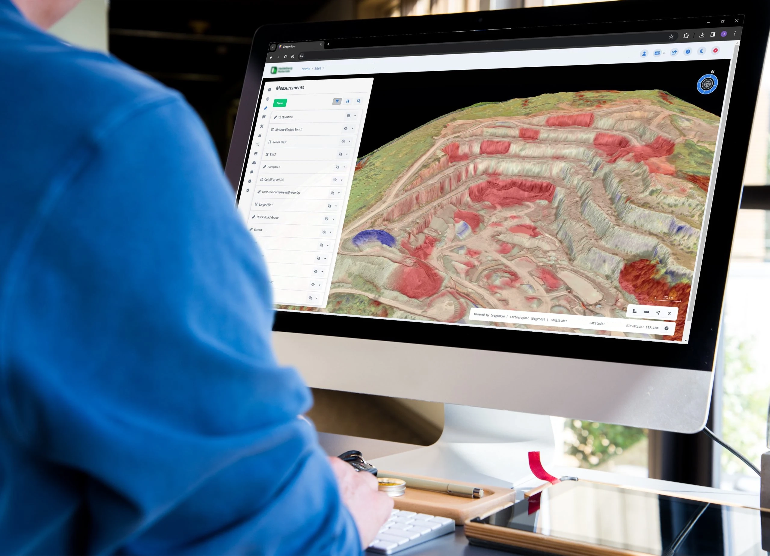
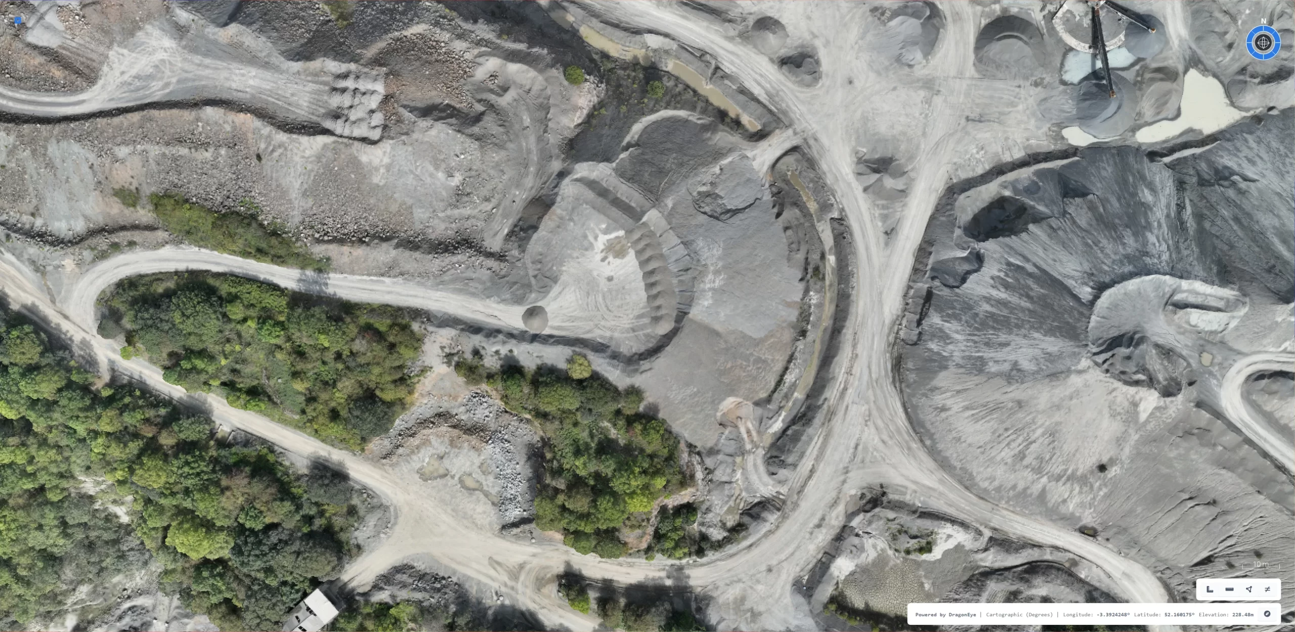
Drone surveys have dramatically improved the speed and accuracy of data collection on construction sites. Traditional surveying methods can be time-consuming and often require a significant on-site presence. By contrast, drones capture high-resolution aerial images and convert them into accurate topographic maps or 3D models within hours rather than days. According to a 2022 report by the Royal Institution of Chartered Surveyors (RICS), drone-based site surveys reduce time spent on data collection by up to 30% compared to traditional methods, thereby accelerating project timelines and reducing labour costs.
Improved Safety
Surveying is a high-risk activity when it involves working at height or traversing uneven terrain. Drones remove much of this danger by offering a safe vantage point from the air. Surveyors and construction professionals can operate the drones remotely, collecting the required data without putting anyone at physical risk. In addition, the Civil Aviation Authority (CAA) in the UK has outlined strict guidelines around drone usage, ensuring that operations remain compliant and risk-averse.

Technological Advancements Driving Progress
Sensors and Imaging
Modern drones are equipped with a range of sensors, including LiDAR (Light Detection and Ranging), infrared, and multispectral cameras. These tools capture detailed information about a site’s terrain, structure, and potential issues such as heat leaks or water damage. The result is a comprehensive data set that enables construction teams to identify and remedy problems early on, reducing the likelihood of expensive reworks later.
Software Integration and Data Analysis
Powerful software platforms now integrate seamlessly with drone-captured imagery, enabling construction teams to process and analyse data quickly. Many of these platforms incorporate machine learning algorithms to identify structural defects, measure distances, or track material usage automatically. The integration of drone data into Building Information Modelling (BIM) workflows helps create detailed 3D models that can be shared across project teams. This collaborative approach enhances communication and ensures all stakeholders have up-to-date information on the project’s progress.

Real-World Implementations and Success Stories
Case Study: Willmott Dixon
One notable example is Willmott Dixon’s use of drone technology on a series of commercial building projects across the UK. By employing drones to survey roofs, façades, and external works, Willmott Dixon reduced on-site surveying costs by an estimated 20%. The firm also reported faster identification of potential design clashes, minimising project delays. This case is cited in the Construction Industry Training Board (CITB) digitalisation overview, which highlights how early detection of issues through drone surveys can save both time and money.
Case Study: Skanska
Skanska has similarly adopted drone surveys for complex infrastructure projects, including road and rail developments. Their teams utilise advanced LiDAR-equipped drones to create highly accurate digital terrain models. These models feed directly into Skanska’s project management software, enabling the company to refine plans rapidly. The result is more precise scheduling, better risk management, and tighter budget control. According to a 2023 PwC report, such uses of drone data analysis can contribute to an overall 5–7% reduction in construction costs on large-scale projects.
Challenges and Considerations
While the benefits are plentiful, there are still hurdles to overcome:
- Regulatory Compliance
Operators must adhere to evolving regulations regarding flight paths, privacy, and airspace restrictions. In the UK, the CAA enforces strict rules to ensure public safety and privacy, requiring specific licences for commercial drone use. - Data Management and Security
The volume of data generated by drone surveys can be immense. Organisations must ensure they have the infrastructure to store, process, and protect this data in compliance with data protection laws and client confidentiality agreements. - Skilled Workforce
Although drone use reduces some labour demands, it creates a need for skilled operators and data analysts. Closing the digital skills gap within the construction sector is crucial to unlocking the full potential of drone surveys.
The Road Ahead
Looking to the future, drone technology is poised to become even more integrated into everyday construction practices. With advancements in AI-driven software and autonomous flight, drones could soon carry out multiple tasks simultaneously—surveying, monitoring site safety, and tracking material inventory—all in one flight. As more construction firms adopt drone surveys, competition will drive further innovation, leading to new hardware, improved data analytics tools, and potentially lower costs.
Industry projections are equally optimistic. According to the Centre for Economics and Business Research (CEBR), drones have the potential to boost the UK’s GDP by £42 billion by 2030, with a significant portion of this growth attributed to commercial applications like those found in construction. It’s an exciting prospect for an industry continually searching for ways to improve efficiency, reduce risk, and deliver better outcomes for clients.

Conclusion
Drone technology represents a new frontier in construction surveying—one that promises greater efficiency, higher accuracy, and enhanced safety on-site. From innovative sensor technology to AI-powered data analysis, drones are streamlining complex tasks and providing construction professionals with unprecedented insights. While challenges such as regulatory compliance and data management remain, the potential rewards are immense.
By embracing drone surveys now, construction firms can position themselves at the forefront of a rapidly evolving industry. The future of construction belongs to those willing to innovate, and drones are a clear example of how forward-thinking solutions can transform an entire sector.
References
- Royal Institution of Chartered Surveyors (2022). Drone Surveying: Opportunities and Best Practices.
- Civil Aviation Authority (2023). Drone and Model Aircraft Code.
- Construction Industry Training Board (CITB) (2022). Digitalisation in Construction: A Sector Overview.
- PwC (2023). Global Drone Market Report: Commercial Applications and Growth Trends.
- Centre for Economics and Business Research (CEBR) (2020). The Potential Economic Impact of Drones on UK GDP.
