Have you ever considered how large construction sites or remote areas are surveyed so accurately and efficiently? Enter the drone as an innovative tool that is redefining how professionals collect and analyse data. Whether you are a land surveyor, engineer, or project manager, drones can offer rapid insights, reduce costs, and enhance safety in ways traditional surveying methods cannot match. Below, we explore their most exciting applications, the benefits they bring, and the hurdles one might face when adopting drone technology.
Real World Uses of Drones in Surveying
Topographic and Land Mapping
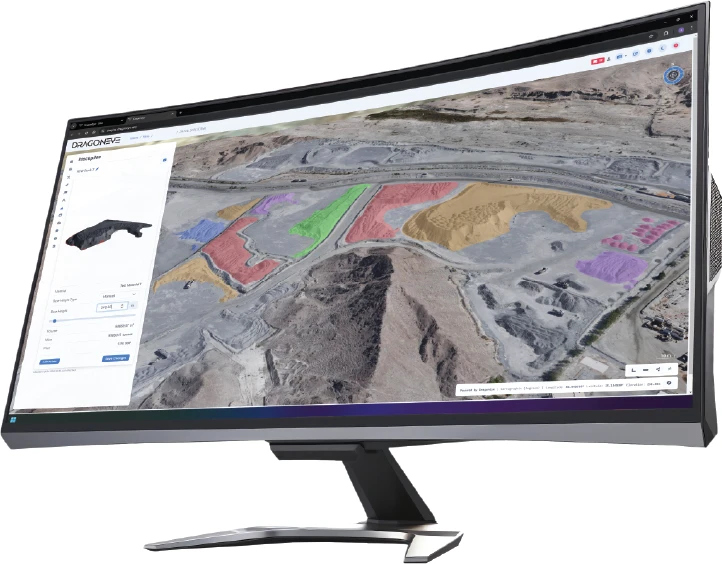
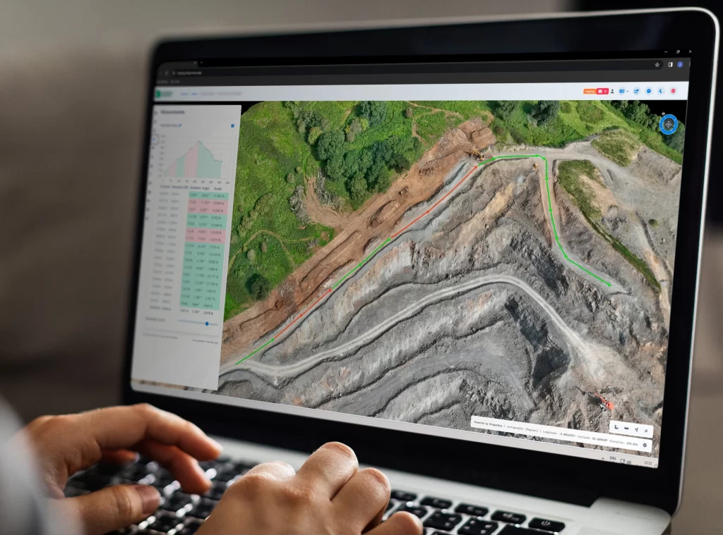
One of the most common uses of drones is gathering precise topographical data. By flying over an area and capturing high resolution imagery, drones help produce detailed maps and 3D models that inform land development and environmental monitoring. This approach is far less time consuming than conventional methods and yields impressively accurate results.
Construction Oversight
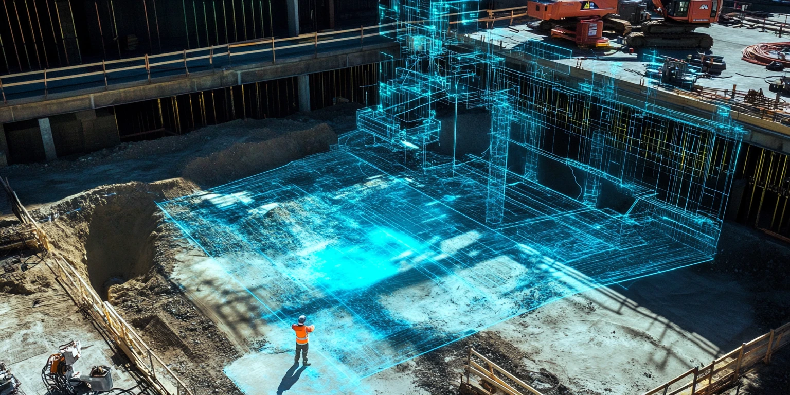
Construction professionals rely on drones to monitor projects, track progress, and ensure sites comply with design specifications. Rather than walking around with clipboards, site managers can deploy drones to capture aerial footage and promptly spot problems like structural inconsistencies or material shortages. This real time information not only minimises delays but also helps keep budgets in check.
Environmental and Agricultural Analysis
Fitted with specialised sensors, drones can detect changes in vegetation, measure crop health, and track wildlife habitats. This is invaluable for both environmental conservation efforts and modern agriculture, where understanding field conditions can make the difference between a strong harvest and a disappointing yield.
Infrastructure Inspection
Inspecting bridges, roads, and utility lines has traditionally been a dangerous and labour intensive job. By using drones to capture high resolution imagery, engineers can now identify issues like cracks or corrosion without placing personnel in harm’s way. This aerial vantage point also reduces the time and cost of sending teams to physically climb or traverse these structures.
Disaster Response and Recovery
After natural disasters, every minute counts. Drones can provide rapid damage assessments, helping emergency response teams prioritise rescue efforts and allocate resources more efficiently. Their aerial viewpoint is especially useful in areas where roads are blocked or access is otherwise restricted.

Key Benefits of Drone Adoption
Time Savings and Improved Efficiency
Drones can cover extensive areas quickly, whether you are surveying farmland or monitoring a construction site. By gathering large amounts of data in a short space of time, they reduce the need for lengthy field visits. This is especially helpful for projects on tight schedules or with strict deadlines.
High Accuracy and Detail
Thanks to tools like GPS modules, high resolution cameras, and LiDAR sensors, drone surveys produce highly detailed and accurate data sets. Surveyors can create digital elevation models or 3D representations of a site with fine detail, ensuring measurements are reliable. This precision significantly lowers the chance of errors that could derail a project down the line.
Cost Savings
Adopting drone technology often translates to spending less on labour and heavy equipment. Where a traditional survey crew might require days on site, a single drone can accomplish the same data collection within hours. Fewer visits also mean lower travel expenses, plus resources can be reallocated to other important tasks.
Enhanced Safety
Surveying steep terrains, hazardous construction zones, or areas affected by natural disasters can put personnel at risk. Drones make it possible to gather crucial information from a safe distance, greatly reducing workplace accidents. They also remove the need for surveying teams to navigate unstable ground or scale tall structures.
Adaptability
Drones can be equipped with various cameras and sensors, including thermal and multispectral imaging devices. This adaptability lets professionals tailor data collection to specific needs, be it monitoring environmental changes, inspecting pipelines, or assessing the health of crops.

Potential Hurdles and Considerations
Licensing and Regulation
In the UK, drone pilots must adhere to rules outlined by the Civil Aviation Authority (CAA). These regulations dictate matters such as maximum flight altitude, safe operation near airports or populated areas, and the need for certain pilot qualifications. Keeping up to date with the latest guidance is vital to avoid legal trouble.
Weather Limitations
Adverse weather conditions like high winds, heavy rain, and dense fog can compromise a drone’s flight stability and sensor accuracy. Planning surveys around clearer skies or investing in drones designed for challenging conditions helps mitigate these risks.
Limited Flight Duration
Most drones can operate for about 20 to 60 minutes before their batteries run low. For extensive mapping tasks, multiple flights or extra battery packs might be required, which calls for careful scheduling to ensure there is no disruption in collecting data.
Data Handling and Processing
A single flight can generate huge volumes of data. Analysing these images and point clouds demands powerful hardware, sophisticated software, and specialised skills. Investing in the right tools and training is crucial to turn raw data into actionable insights.
Initial Outlay
While drones can provide significant savings once integrated into your workflow, buying high end models and advanced sensors can be expensive. Surveying firms should weigh these initial costs against potential long term benefits, such as reduced labour, faster project completions, and fewer on site hazards. Or employ a third party who has already made these outlays do the work on your behalf. Companies such as UAV Surveys & Information Ltd.

Looking Ahead: The Future of Drone Surveying
Drone technology shows no signs of slowing down. New models boast longer flight times, superior camera capabilities, and more advanced sensors that can capture data at even higher resolutions. At the same time, software is evolving to simplify data processing, making it easier to transform raw survey data into clear, actionable reports. For anyone involved in construction, land management, or environmental assessment, staying informed about these developments will be vital to maintaining a competitive edge.
In short, drones offer an exceptional balance of speed, accuracy, safety, and cost effectiveness qualities that are setting a new benchmark in the surveying world. If you have yet to incorporate drone technology into your projects, now might be the ideal moment to explore how these versatile devices can streamline your work. With the right approach and preparation, drones can elevate your survey operations to entirely new heights.
