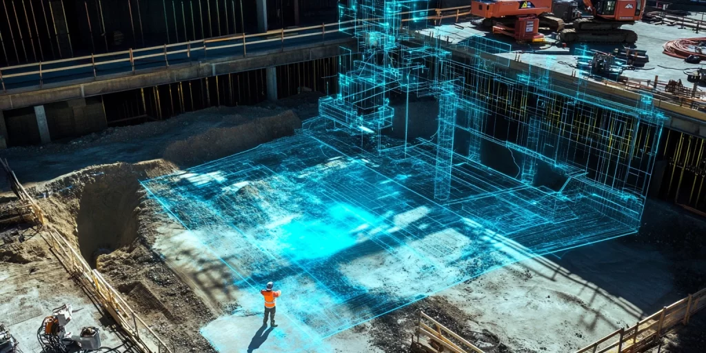
Revolutionary Aerial Solutions: Transforming Facilities Management Through UAV Technology

In the world of facilities management, staying ahead means embracing innovation. And nothing has changed the game quite like drones. These flying marvels are revolutionising how we care for, maintain, and develop our built environments. The Unseen Advantage from Above Picture this. Monday morning. Your team reports significant roof damage on your largest site. Traditional […]
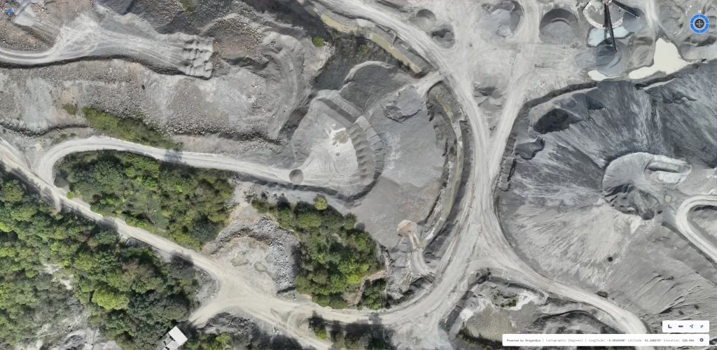
A Bird’s-Eye View of Progress: How Drone Technology is Transforming Major Infrastructure Projects

In an era where technological innovation is reshaping industries, the construction sector is no exception. One year into a significant road upgrade project in the UK, cutting-edge drone footage has provided an unprecedented perspective on progress, offering both the public and stakeholders a captivating glimpse into the complexities of modern infrastructure development. This aerial documentation […]
Drone Survey Scheduled as Watchet’s West Street Cliffs Continue to Slip: The Future of Coastal Erosion Monitoring

The stunning coastline of Watchet, Somerset, stands as a testament to the natural beauty and geological significance of the UK’s coastal landscapes. However, this beauty is paired with the harsh reality of coastal erosion, a challenge increasingly worsened by climate change. Recent studies led by geological and ecological consultancy Geckoella have highlighted accelerated erosion and […]
RTK vs PPK in Drone Surveying: Choosing the Right Workflow for Accurate Mapping

Drone surveying has revolutionised industries by enhancing data collection precision and efficiency. Central to this advancement are two pivotal methodologies: Real-Time Kinematic (RTK) and Post-Processed Kinematic (PPK) workflows. Understanding the distinctions between RTK and PPK is essential for professionals aiming to optimise their surveying operations. Understanding RTK and PPK Workflows Real-Time Kinematic (RTK) Workflow RTK […]
Drones in Modern Surveying: A Fresh Perspective
Have you ever considered how large construction sites or remote areas are surveyed so accurately and efficiently? Enter the drone as an innovative tool that is redefining how professionals collect and analyse data. Whether you are a land surveyor, engineer, or project manager, drones can offer rapid insights, reduce costs, and enhance safety in ways […]
Accurate Survey Data Collection: UAV Technology, Methods, and Best Practices

Discover the most effective methods for accurate survey data collection using UAV technology. Learn best practices, advanced techniques, and the benefits of drones for construction, environmental monitoring, and infrastructure planning.
The Future of Drone Surveys in Construction
The construction industry has always embraced innovation, from the early adoption of power tools to the widespread use of Building Information Modelling (BIM). One of the most significant advancements in recent years has been the increasing use of drone technology for surveying. This blog post explores the current state of drone surveys in construction, the […]