
Raw Data Collection
You may have your own solutions for using drone Data, so we offer the very best in 'Raw Data Collection'. Images, Ground Control, RTK or PPK the choices are yours.
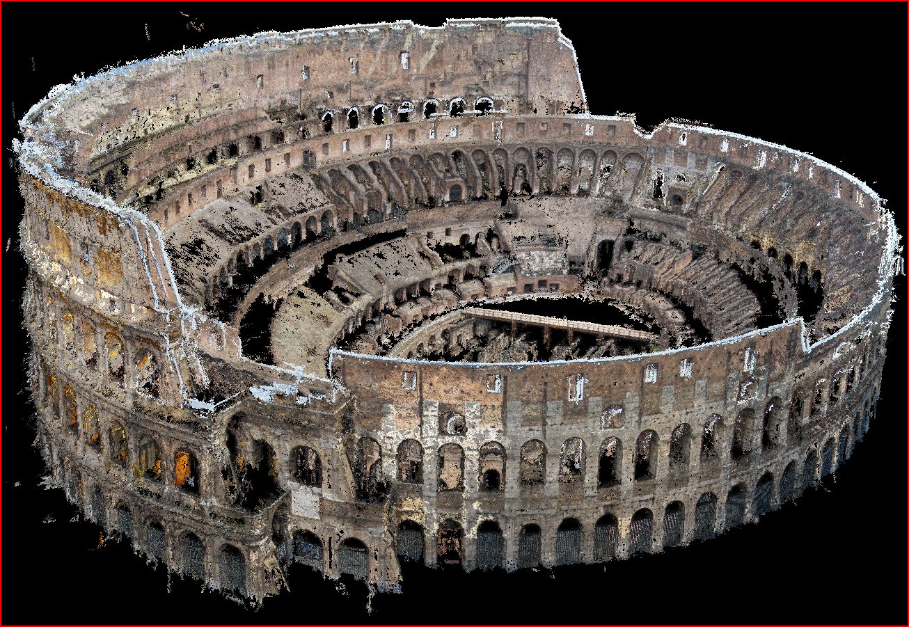
Point Clouds & Models
Your own CAD teams, BIM practitioners may have you covered already, so we offer full .LAS, .LAZ, .OBJ amongst other formats, so our data collection is immediately usable in existing workflows.
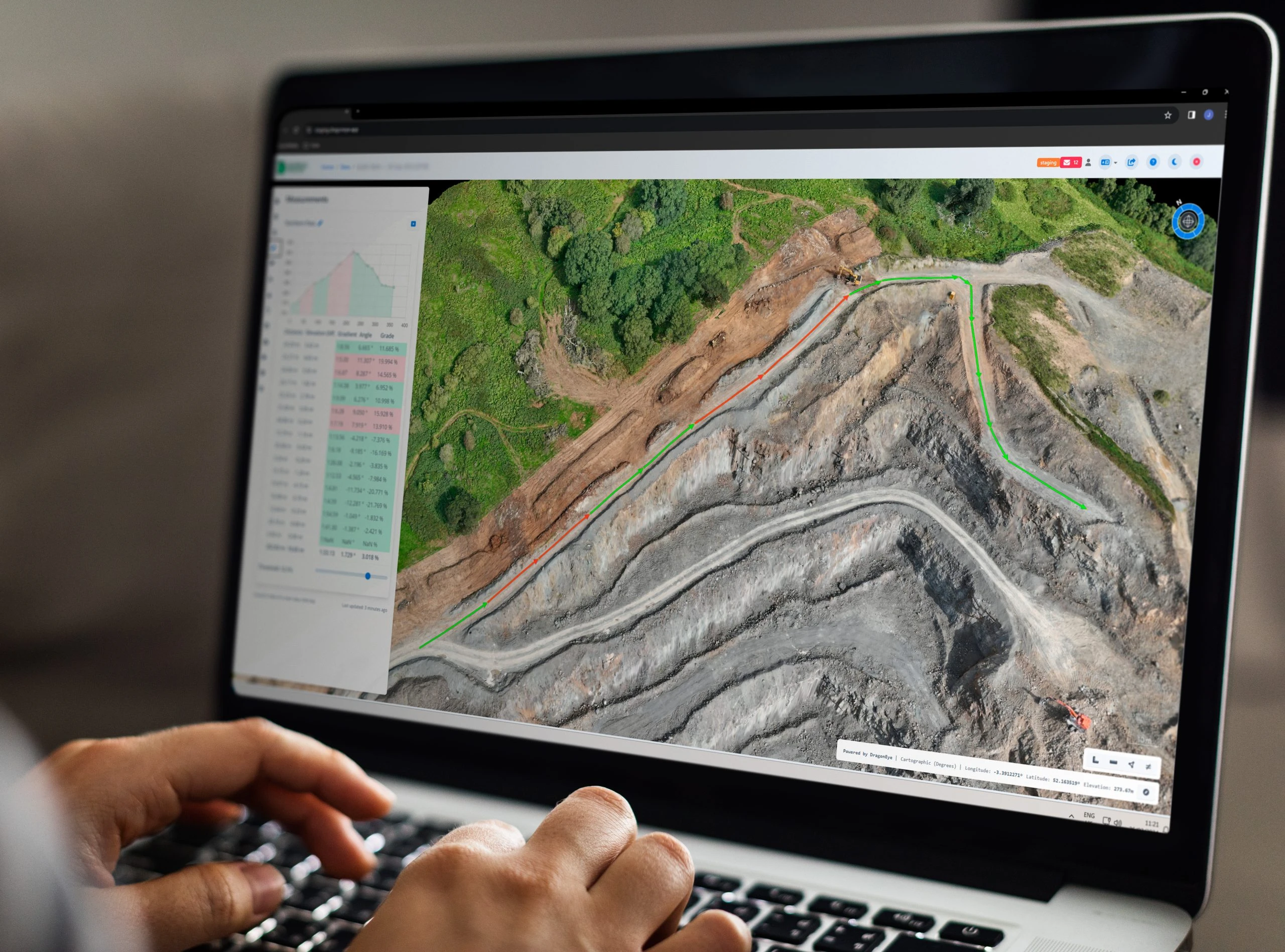
Online Delivery Platform
We offer a cutting edge delivery platform which allows for instant insights, measuring, volumetrics, sharing and collaboration. You also have the abilityupload and download CAD, BIM, and raw data.

Bespoke Solutions
We don't claim to know how everyone wants their survey data, or indeed how best we can help you. So we are happy to consult, and adapt to your partiucular needs.
Construction
We can bring massive benefit within construction Projects, streamlining workflows, improving planning, and saving time and money across the board.
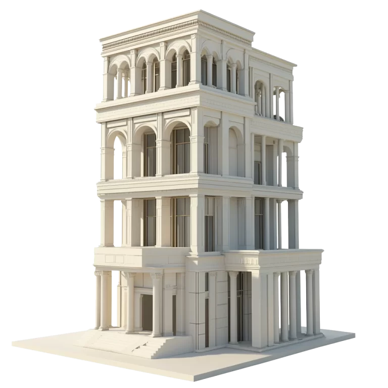
Building Inspection
Inspection of buildings is a speciality for UAV Surveys, we are currently being used to help assess risk for a large insurance group as with our inspections nothing is hidden.
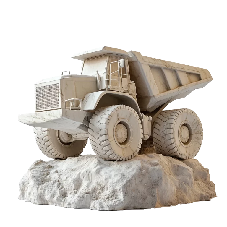
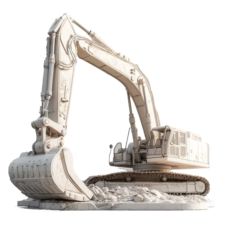
Quarry and Gravel Pits
UAV Surveys has been working with the large quarry companies throughout England and Wales for many years. The tools we provide reduce cost, and report Progress.